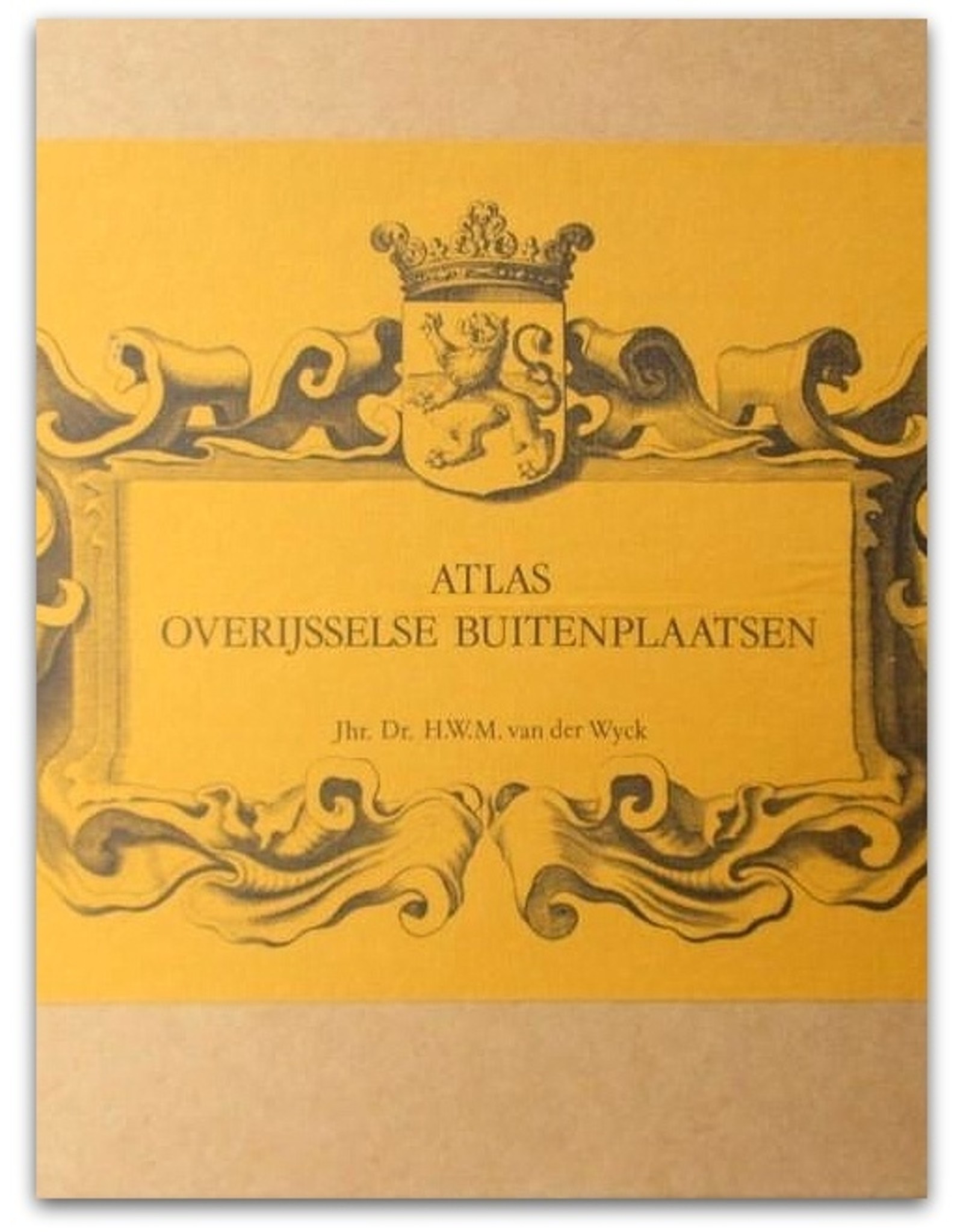
Atlas Overijsselse Buitenplaatsen
| Availability: | Out of stock |
| Delivery time: | Sold |
H.W.M. van der Wyck - Atlas Overijsselse Buitenplaatsen - Alphen aan den Rijn - Canaletto / Stichting Nederlandse Buitenplaatsen en Historische Landschappen - 1983 - 1st edition - Loose-leaf in box - 42 x 29 x 7 cm.
Condition: Good - COMPLETE and excellent set, the box with some speckles but neat. Some bundles are hand-numbered in Roman type on the cover.
Cardboard box containing a textbook (paper wrappers, 44 pp.) and 5 bundles with folding sheets (54 x 40 cm); photomechanical reprints in colour and black and white of topographic and military maps (including the IJssellinie: 'Atlas Topographique van Het Frontier des Yssels, Wedde & Westwoldingerland', 1783). The work also includes a full cartographic overview of the present state (= 1974-1977) of the landscape of Overijssel using the maps of the Topographic Service (Scale 1: 30,000).
¶ A huge job; the life's work of landlord Henri Wolter Matheus van der Wyck (1927-2001). Of the 7 planned Atlases, only Overijssel and Gelderland (De Veluwe) eventually appeared. Standard work in this field.


